Open-source geographic information system software for analyzing and visualizing spatial data.
Quantum GIS is a free and open source map creator app and mapping tool developed by Gary Sherman for Windows, it's advanced and comprehensive.
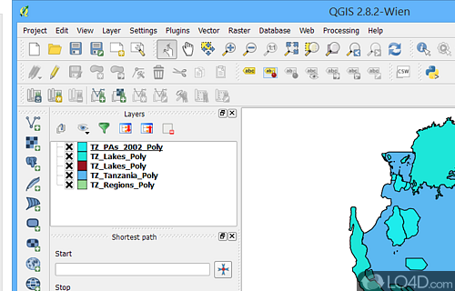
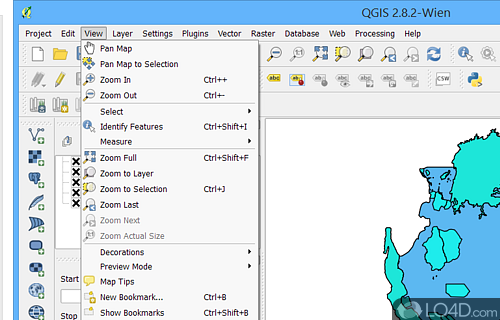
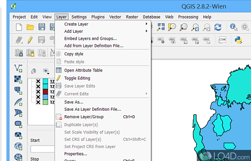
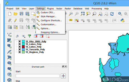
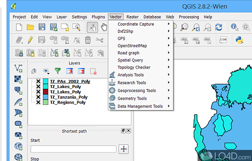
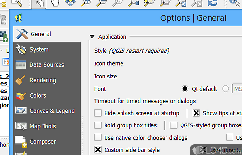
The download has been tested by an editor here on a PC and a list of features has been compiled; see below. We've also created some screenshots of Quantum GIS to illustrate the user interface and show the overall usage and features of this map creation program.
An advanced set of tools for creating and editing professional maps
QGIS supports vector, raster, and database formats and lets you browse and create map data on your computer.
Quantum GIS (QGIS) supports many common spatial data formats (e.g. ESRI ShapeFile, geotiff). QGIS supports plugins to do things like display tracks from your GPS.
QGIS aims to be an easy to use GIS, providing common functions and features. The initial goal was to provide a GIS data viewer. QGIS has reached that point in its evolution and is being used by many for their daily GIS data viewing needs. QGIS supports a number of raster and vector data formats, with new support easily added using the plugin architecture.
Features of Quantum GIS
- 3D Visualization: Visualize and analyze vector data in 3D.
- Database Connectivity: Connect to a variety of databases for seamless integration.
- GPS Support: Connect to GPS devices to view and edit real-time location data.
- Georeferencer: Georeference images with a simple click.
- Layering: Layer data in an intuitive way to create interactive maps.
- Map Composer: Create stunning maps with custom styling and layout options.
- Plugin Extensibility: Extend QGIS functionality with plugins.
- Processing Toolbox: Automate complex GIS processing tasks.
- Raster Data Support: Import, visualize and analyze raster data in multiple formats.
- Spatial Analysis Tools: Analyze, query and visualize vector data with a variety of tools.
- Support for Multiple Formats: Open and save data in many popular formats like GeoJSON, KML and Shapefile.
- Vector Data Support: Create and edit GIS data in a variety of vector formats.
- Web Mapping: Publish interactive web maps with ease.
Compatibility and License
Quantum GIS has been released under a General Open Source license which means the software can be downloaded and distributed for free. There are other programs from mapping available with different licenses like GPL or just plain closed-source freeware.
Gary Sherman accepts donations for the continued development of this free software.
What version of Windows can Quantum GIS run on?
Quantum GIS can be used on a computer running Windows 11 or Windows 10. Previous versions of the OS shouldn't be a problem with Windows 8 and Windows 7 having been tested. It runs on both 32-bit and 64-bit systems with no dedicated 64-bit download provided.
Filed under:
- Quantum GIS Download
- Free Mapping
- Open source and GPL software
- Map Creation Software
